Kickapoo River Valley
Rising some 350 feet above the river are the Ocooch Mountains, named for a group of Indigenous People called the Ocoche who once made these hills home.
Kickapoo River Valley
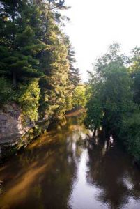
At 125 miles, the Kickapoo River is the longest tributary of the Wisconsin River, meandering from its source in Wilton to Wauzeka, where it joins the Wisconsin. The proverbial crow flying between these two towns would only cover 65 miles. But Kickapoo is an Algonquin word meaning “one who goes there, then here,” an accurate description of a river that manages to flow north, south, east and west for some portion of its 125 mile length. Because the glaciers that missed the Driftless Area did not change its natural course, the Kickapoo River Valley is one of the oldest river systems in the world.
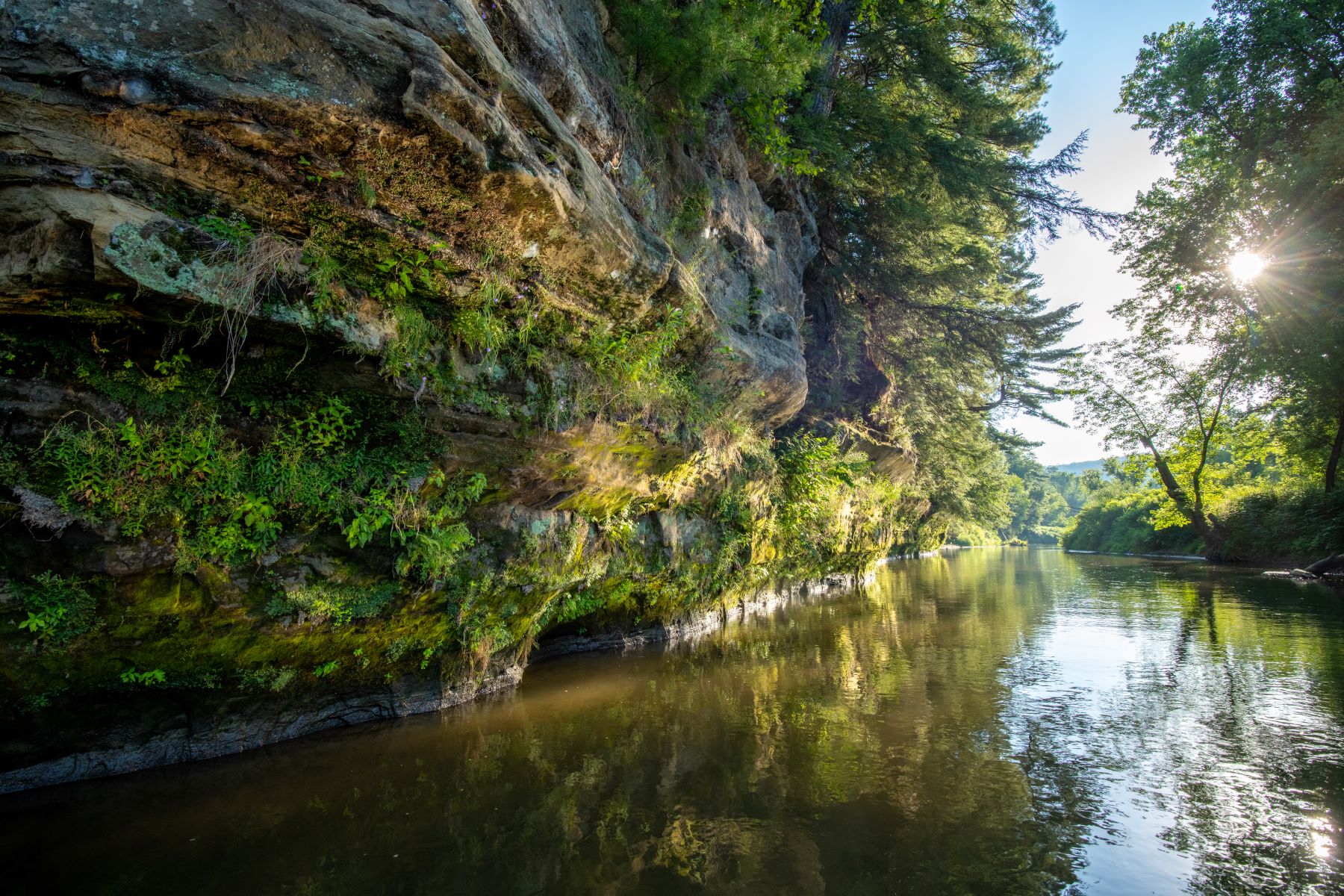
Rising some 350 feet above the river are the Ocooch Mountains, named for a group of Indigenous People called the Ocoche who once made these hills home. The “mountains” are really a region of forested hills, lush valleys and sandstone cliffs that stretch beyond the Kickapoo River watershed roughly from Spring Green to Viroqua. You won’t find the Ocooch Mountains on a Wisconsin map, but that’s immaterial. What you will find is that nearly every deep valley has a pristine trout stream running through it.
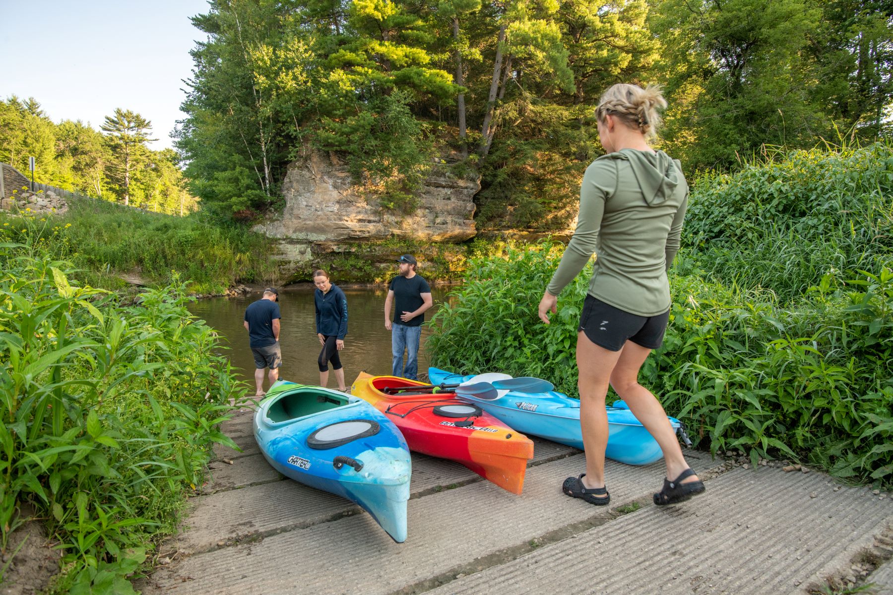
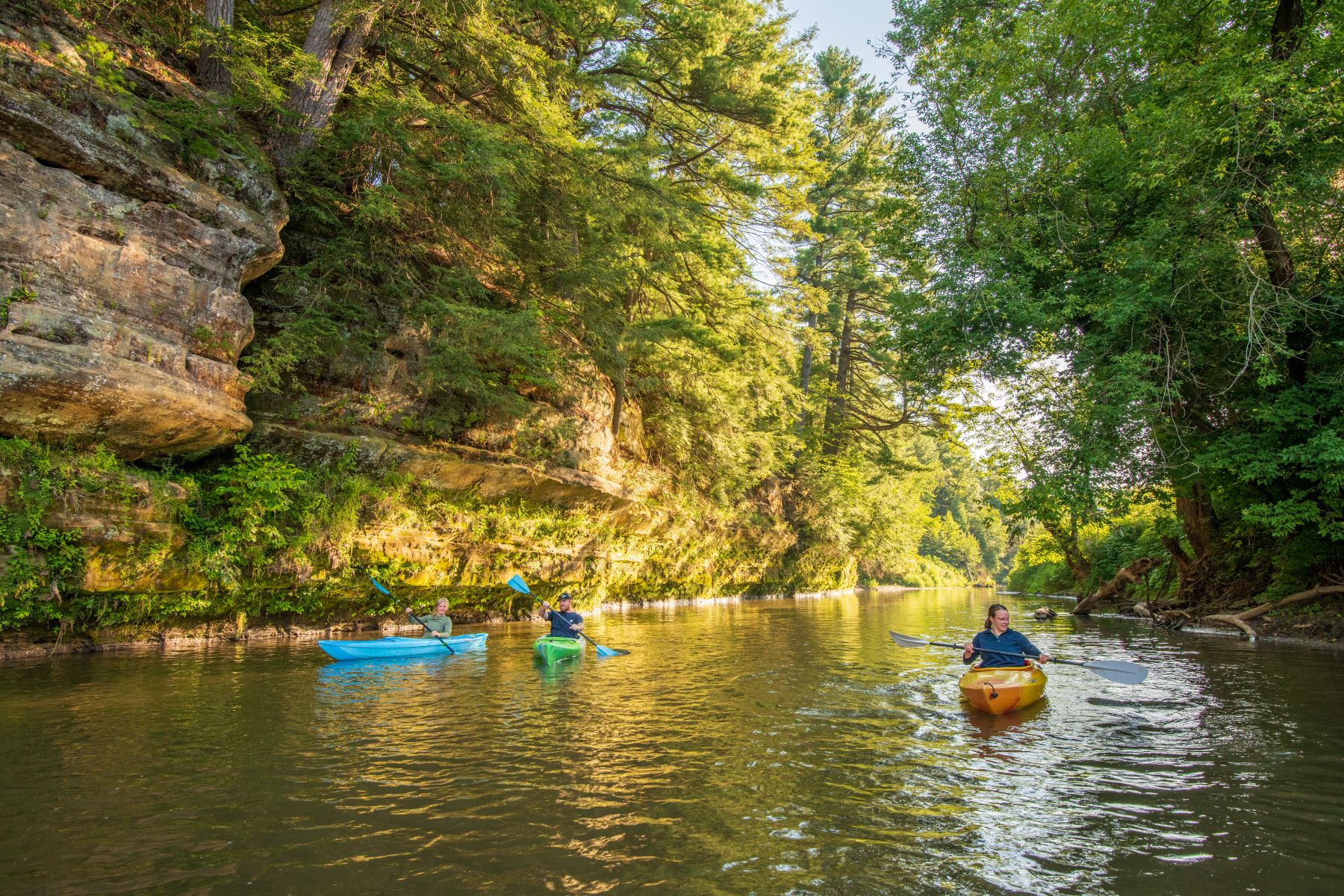
 A trip down the Kickapoo River can be accomplished by canoe, by automobile, or by biking along State Highway 131. Beginning at Wilton, the center of the Elroy-Sparta Bike Trail, the river is slightly more than a stream. At Ontario, the river has carved out vertical sandstone cliffs covered with mosses, ferns, hemlocks and wildflowers. Ontario is a popular spot to launch a canoe, your own or one rented from a local livery. And here, on a steep ridge, you will find the 3,600-acre Wildcat Mountain State Park, which offers 25 miles of hiking, horseback riding, and cross-country ski trails plus well-equipped camp sites.
Between Ontario and La Farge stretches the 8,600-acre Kickapoo Valley Reserve. The Reserve offers a variety of recreation: fishing and hunting; horseback riding and hiking trails; cross-country skiing and snowshoeing; canoeing and camping. In the center of the Reserve on its western edge is Rockton, another popular canoe launching site. Near Avalanche, the West Fork of the Kickapoo River is cited by anglers as some of the best trout fishing in the Midwest. At its southern tip, the Village of La Farge, home of Organic Valley, the country’s largest organic farming cooperative, calls the Reserve its “big backyard.”
Continuing south, you reach Viola, famous for its fall Horse and Colt Show; then Readstown, the center point of the river; and Soldiers Grove, whose downtown was flooded on so many occasions that the residents relocated it in the 1970s, erecting the nation’s first solar village. Next is Gays Mills, the “Apple Capital” of Wisconsin.
Near Steuben the river valley widens further. In a few miles, the road along the Kickapoo River begins to rise and you soon find yourself on a ridge top overlooking the silos, barns, and pastures that typify the area. Then a steep curving downhill brings you to the quiet village of Wauzeka and the end of the Kickapoo as it flows into the Wisconsin River.
Whether on the road or on the river, the Kickapoo Valley is a special place. You can see over 300 species of rare plants and wildflowers; over 100 species of bird, from bald eagles to sandhill cranes to rare Kentucky warblers. You can see muskrats, beaver, white-tailed deer, raccoons, woodchucks, mink, otter and fox. You can see four types of forests, goat prairies, and prairie remnants.
Come see it all. Come meander the Kickapoo River area.


Request our Brochure!
Whether for a weekend, a week, or longer, you’ll enjoy your stay in Driftless Wisconsin. Love using our map while exploring the Driftless? Leave us a Google 5-star review!